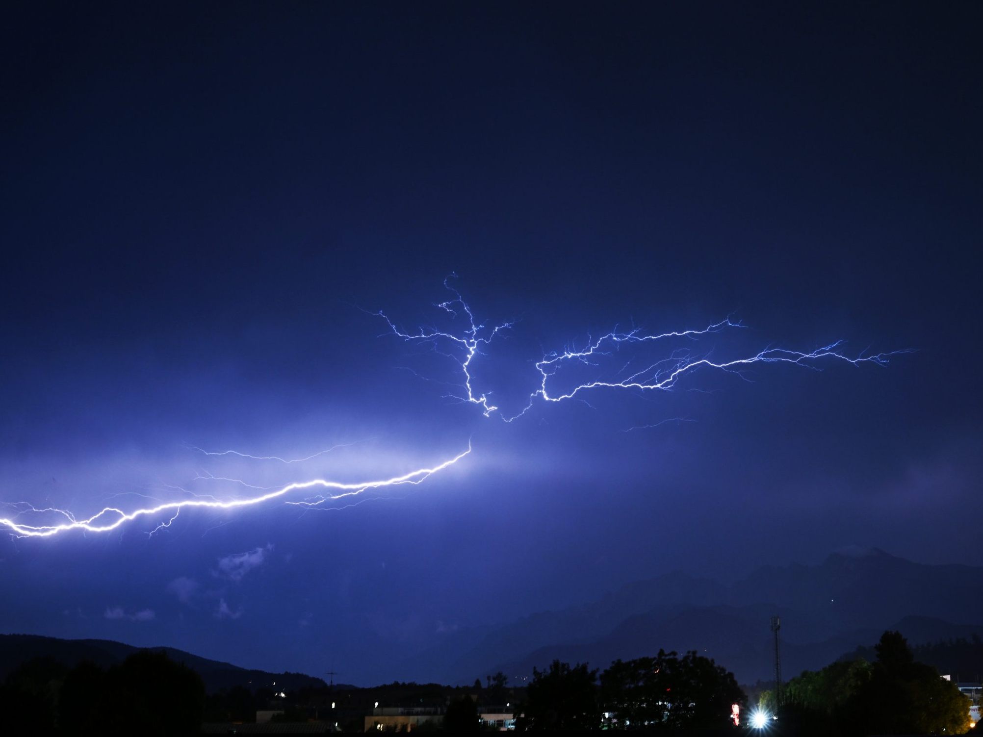
Thunderstorms and Downpours: This is How the Weather Will Be in the Coming Days

A significant drop in temperature is expected by the middle of next week. After some residual clouds dissipate on Saturday, the sun will shine widely in the morning. From the Ötztal Alps to the Mariazell region and in the southwest, cumulus clouds will increasingly form over the mountains from midday, growing into some heavy rain showers or thunderstorms, otherwise it will remain dry and sunny. Apart from the thunderstorms, a light wind will blow from southern directions. Early morning temperatures will range between nine to 17 degrees, with daytime highs between 26 to 32 degrees, with the highest temperatures in the east.
Weather becomes unstable
On Sunday morning, the sun will still appear more frequently towards the east. However, rain showers and thunderstorms will spread from the southwest and the mountainous regions to large parts of the country. It will remain dry the longest north of the Danube. The wind will blow weak to moderate from southeast to southwest, turning to west in the evening. Early morning temperatures will fluctuate between 14 to 21 degrees, with daytime highs between 24 to 31 degrees.
On Monday, clouds will often dominate under the influence of disturbances, and denser cloud fields will repeatedly pass through. There will be some rain showers, locally also thunderstorms, with a focus from Upper Carinthia to Southern Burgenland. Locally, there may be heavy downpours. However, the sun will also appear repeatedly between the cloud fields. The wind will initially blow weak to moderate, lively on the northern side of the Alps from Vorarlberg to western Lower Austria, from the west. Early morning temperatures will mostly range between ten and 20 degrees, with daytime highs between 20 to 28 degrees.
It will be changeable on Tuesday
It will be changeable on Tuesday. There may be calmer periods, then it will be precipitation-free for a few hours, and the sun will also appear for longer. However, by the afternoon at the latest, renewed shower activity is expected from the west, with showers potentially being heavy locally. Thunderstorms are also possible, but they are likely to occur only sporadically. The wind from western directions will blow moderate to lively, strengthening from the west in the afternoon. Early morning temperatures will settle in the range of nine to 17 degrees, with daytime highs around 16 to 25 degrees.
On the backside of a slowly eastward-moving upper trough, cooler air masses will flow in on Wednesday, but it will not be entirely stable, especially on the northern side of the Alps, where a few rain showers are expected during the day. Thunderstorms will remain the exception. Nevertheless, the friendly weather character will prevail, and the sun will appear repeatedly. On the southern side of the Alps, longer sunshine is generally expected, and here and in the far west, the sky will often be only slightly cloudy. In addition, the wind in the south and west will mostly blow weak to moderate. On the northern side of the Alps, it will often freshen up lively from west to northwest. Early morning temperatures will mostly range from eight to sixteen degrees, with daytime highs from 17 to 25 degrees.
(APA/Red)
This article has been automatically translated, read the original article here.


