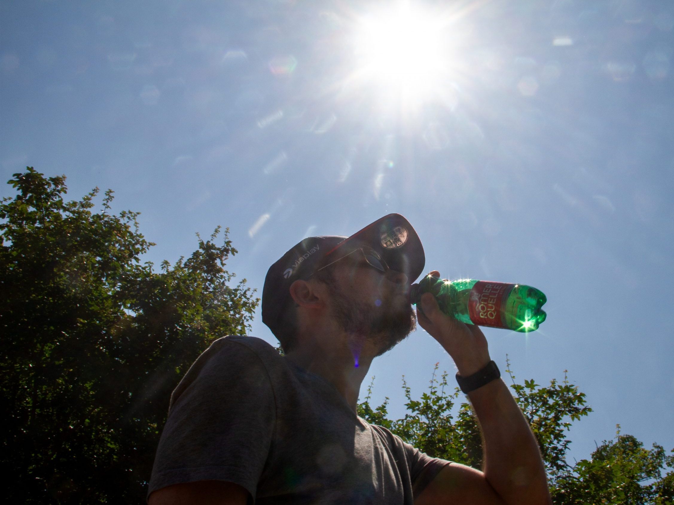
Heatwave in Austria Approaches First Peak

The experts from Geosphere Austria expect temperatures of up to 38 degrees in the east of the country next Thursday. A cooling down is not expected for the time being.
Heat Warning on Wednesday: Danger for Vulnerable People
From Wednesday, there is a heat warning for Vienna, Burgenland, parts of Lower Austria, Upper Austria, Styria, the central region of Carinthia, the Tyrolean lowlands, and the Rhine Valley in Vorarlberg. Vulnerable people could suffer from increased body temperature, rapid pulse, weakness, headaches, confusion, and nausea due to the heat. Affected individuals should avoid direct sunlight, built-up and sealed areas, and not go outside during the hottest part of the day. In general, strenuous activities should be avoided, and outdoor physical activities should be moved to the early morning or evening. Airy, light clothing and a head covering are strongly advised. Sufficient and regular drinking - at least two to three liters per day - is now essential, with water, unsweetened tea, or fruit juices diluted with water being optimal. Alcohol should be avoided.
Heatwave: Monday and Tuesday up to 34 Degrees
Already today, Monday, the sky is clear and very sunny in many places. Especially in the west, but also in the southwest, some cumulus clouds will form in the morning. From midday, rain showers and thunderstorms are expected. In the other parts of the country, only a few cumulus clouds will generally form, and the likelihood of precipitation remains very low, especially in the north and east. The wind blows weak to moderate from predominantly northern directions. Early temperatures range between twelve and 22 degrees, and during the day, temperatures rise to 27 to 34 degrees.
On Tuesday, a few residual clouds from the night may persist, especially in the south, but otherwise, sunshine predominates. In the western and southern parts of the country, cumulus clouds will quickly form and subsequently develop into isolated showers and thunderstorms. In the north and east, however, it remains mostly sunny throughout the day. The wind blows weak to moderate from north to east, except during thunderstorms. Early temperatures range between twelve and 20 degrees, with daytime highs between 27 and 34 degrees.
Wednesday and Thursday Will Be Even Hotter
On Wednesday, the sun will shine almost everywhere. In the second half of the day, some powerful cumulus clouds will gradually develop over the mountains in the west, which can eventually produce some showers and thunderstorms. In the east and southeast of Austria, however, it will remain mostly sunny and hot until the evening. The wind will be rather weak, occasionally refreshing moderately from east to south in the lowlands of the east and in the mountainous regions. Early temperatures will reach 13 to 21 degrees, with daytime highs of 29 to 36 degrees.
Thursday is expected to start quite sunny in most parts of Austria and will then become really sweaty in the east. In the west, however, the first powerful cumulus clouds will already rise from the mountainous regions by midday, and subsequently, the first showers and thunderstorms can develop, especially in Vorarlberg, Tyrol, and Salzburg. These will spread a little further east and southeast by the evening, but it is likely to remain mostly dry in the eastern lowlands, in Lower Carinthia, and southeastern Styria. The initially weak to moderate wind from southeast to south will often shift to west with thunderstorms, bringing locally strong gusts. Early temperatures will range between 15 and 23 degrees. With daytime highs between 30 and 38 degrees, the heatwave will reach a new peak, especially in Vienna, Lower Austria, and Burgenland.
First Thunderstorms on Friday
On Friday, very warm but increasingly humid and unstable air masses will spread across all of Austria. In the western half, some cloud fields and occasionally remnants of thunderstorms will already be present from the night. During the day, the sun will often still mix in, and it will become increasingly humid and warm to hot. However, some powerful cumulus clouds can develop relatively quickly, and the subsequent shower and thunderstorm activity will hardly spare the lowlands and southeastern Austria. Some of these thunderstorm cells can be quite severe. Apart from showers or thunderstorms, the wind will be rather weak, but in the Danube region and northern Burgenland, it will at least occasionally refresh moderately from the west. Early temperatures: 16 to 26 degrees. Daytime highs will range from 24 to an unpleasant 36 degrees from northwest to southeast.
(APA/Red)
This article has been automatically translated, read the original article here.


