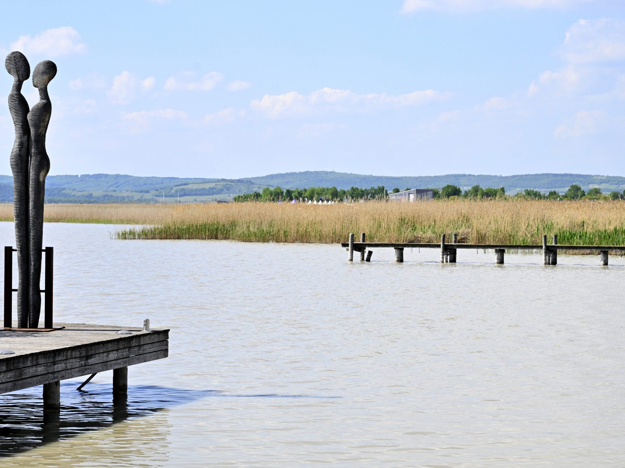
AI to Ensure the Preservation of Lake Neusiedl

The goal is to create an AI-based tool that facilitates the planning of measures and the preparation of the annual construction program in Seemanagement GmbH, said Managing Director Erich Gebhardt. The development of the reed population and the sludge and sediment transport in the lake should be realistically simulated and predicted in advance using the collected data, explained Research Coordinator Martin Zloklikovits.
Drones Fly Over Reed Belt in Lake Neusiedl for AI
The 180 square kilometer reed belt is being flown over with a drone equipped with a camera that allows the reflected light from plants to be broken down into spectra. According to Project Manager Georg Supper, this data can be used to estimate the age structure and condition of the reeds and to locate areas of broken reeds. The sediment transport in the lake is recorded using sonar devices or sound waves. Simulation models should enable predictions of where the sediment will settle.
Supper expects the first two- and three-dimensional maps, created based on the data, in five to six months. Zloklikovits can also envision an expansion of the project, such as for recording breeding sites at Lake Neusiedl.
(APA/Red.)
This article has been automatically translated, read the original article here.


